Geospatial technology is a field that deals with the collection, analysis, and interpretation of data related to geographic locations on the Earth’s surface. It involves using various tools and techniques to gather, store, manipulate, and visualize spatial information.
Geospatial Technology
Understanding Geospatial Data
Understanding geospatial data involves grasping its representation in vector and raster formats. Vector data depicts geographic features as points, lines, and polygons, while raster data comprises grids of cells representing continuous phenomena. This comprehension enables practical analysis and utilization across diverse urban planning, agriculture, and environmental monitoring applications.
Types of Geospatial Data
Geospatial data comes in two main types: vector data and raster data. Vector data represents geographic features as points, lines, and polygons and is suitable for representing discrete objects such as roads, buildings, and boundaries.
On the other hand, Raster data consists of grids of cells, each containing a single value, and is used to represent continuous phenomena like elevation, temperature, and land cover. Both types of geospatial data play critical roles in various applications, from urban planning and environmental monitoring to agriculture and disaster management.
Applications of Geospatial Technology
Geospatial technology finds applications in various fields and industries, including:
Urban Planning and Development
Urban planning and development rely heavily on geospatial technology to address the complex challenges of growing cities and metropolitan areas. Geographic Information Systems (GIS) provide planners with powerful tools to analyze land use patterns, infrastructure needs, and demographic trends. By overlaying spatial data layers, urban planners can identify suitable locations for new developments, optimize transportation networks, and allocate resources efficiently.

Remote sensing technologies offer insights into urban expansion, environmental degradation, and disaster vulnerability, informing decision-making processes and resilience planning. Geospatial technology also facilitates community engagement and participatory planning initiatives by visualizing proposed projects and soliciting stakeholder feedback. By integrating geospatial data and analytics, urban planners can create more sustainable, livable, and resilient cities that meet the needs of diverse populations now and in the future.
Environmental Monitoring
Environmental monitoring is crucial for assessing the health and integrity of ecosystems and natural resources. Geospatial technology is pivotal in this process by providing tools and techniques to gather, analyze, and interpret environmental data.
Remote sensing technologies, such as satellite imagery and aerial surveys, enable monitoring of land cover changes, deforestation rates, and habitat fragmentation. Geographic Information Systems (GIS) allow for the integration of various environmental datasets, facilitating spatial analysis and trend identification.
Through geospatial technology, ecological scientists and policymakers can track air and water quality, monitor wildlife populations, and assess the impacts of human activities on the environment. Using these tools, stakeholders can make informed decisions and enact effective conservation strategies to preserve biodiversity and sustainability.
Agriculture and Farming
Agriculture and farming are vital sectors that rely on geospatial technology to enhance productivity, sustainability, and resource management. Geospatial tools such as Geographic Information Systems (GIS) enable farmers to analyze soil properties, topography, and weather patterns, optimizing crop selection, planting techniques, and irrigation strategies.
Remote sensing technologies provide valuable insights into crop health, pest infestations, and water stress, allowing for timely interventions and yield optimization. Global Positioning Systems (GPS) also aid in precision agriculture by guiding automated machinery, monitoring field operations, and creating accurate maps for variable-rate applications. By integrating geospatial data, farmers can make informed decisions, reduce costs, and ensure food security amidst climate change.

Disaster Management
Disaster management encompasses a range of strategies and practices to mitigate the impact of natural and human-made disasters on communities and environments. It involves preparedness, response, recovery, and resilience-building efforts to minimize loss of life, property damage, and disruption caused by earthquakes, floods, hurricanes, and wildfires.
Geospatial technology is crucial in disaster management by providing real-time monitoring, situational awareness, and decision-support tools for emergency responders and policymakers. Via satellite imagery, GIS, and remote sensing, stakeholders can assess damage, identify vulnerabilities, coordinate relief, and plan effectively. Leveraging geospatial data and analytics, disaster agencies bolster emergency response and protect communities from harm.
Tools and Technologies in the Geospatial Industry
The geospatial industry relies on various tools and technologies to process spatial data efficiently. Geographic Information Systems (GIS) help manage and analyze geographic information, while Global Positioning Systems (GPS) provide precise location data.
Remote sensing technologies like satellite imagery and LiDAR enable the capture of detailed environmental data. These tools and advancements in data processing and visualization drive innovation in geospatial analysis and decision-making processes.
Geographic Information Systems (GIS)
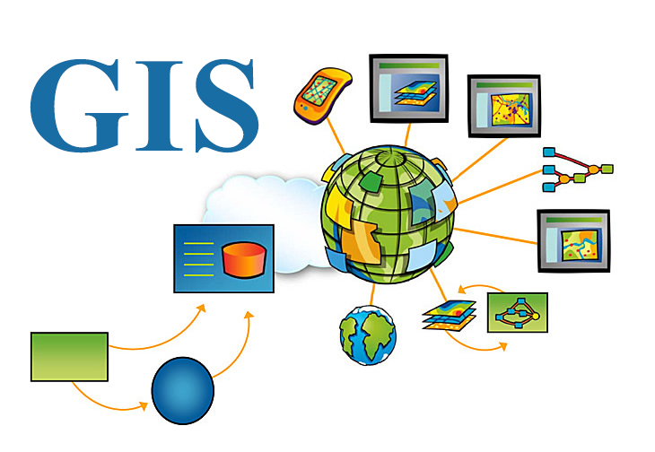
Geographic Information Systems (GIS) are integral to the geospatial industry, facilitating geographic data management, analysis, and visualization. GIS software allows users to capture, store, manipulate, analyze, and present spatial and geographic information effectively.
By overlaying different data layers, GIS enables users to identify patterns, make informed decisions, and solve complex spatial problems across various domains, including urban planning, natural resource management, and emergency response.
GIS applications range from creating interactive maps and conducting spatial analysis to modeling geographic phenomena and supporting decision-making processes. As GIS technology advances, its capabilities foster innovation and enable users to explore, understand, and utilize spatial information.

Global Positioning Systems (GPS)
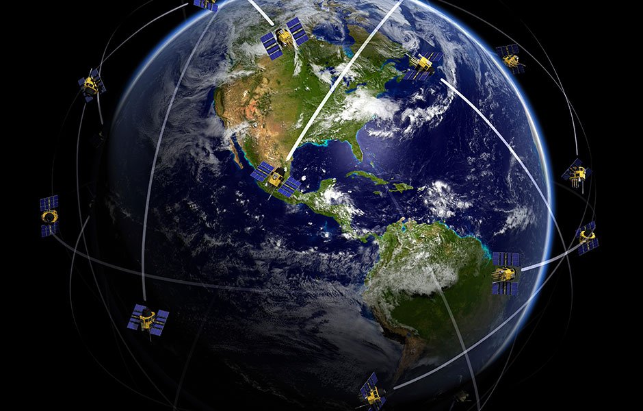
Global Positioning Systems (GPS) have revolutionized navigation and location-based services, providing accurate positioning information anywhere on Earth. Utilizing a network of satellites orbiting the planet, GPS receivers determine their precise coordinates by triangulating signals from multiple satellites.
This technology has widespread applications in various sectors, including transportation, logistics, outdoor recreation, and surveying. GPS aids drivers, optimizes delivery routes, and tracks hikers in remote areas. Beyond navigation, GPS plays a critical role in asset tracking, fleet management, and emergency response systems. Continuous GPS advancements, like improved accuracy and reliability, bolster its role in daily life and commerce, enhancing safe navigation.

Remote Sensing
Remote sensing is a crucial component of geospatial technology, revolutionizing our ability to observe and study the Earth’s surface from a distance. By utilizing sensors mounted on satellites, aircraft, or drones, remote sensing captures valuable environmental data, including land cover, vegetation health, and natural phenomena.
This technology enables scientists, researchers, and decision-makers to monitor changes over time, assess environmental impacts, and make informed decisions in various fields such as agriculture, forestry, urban planning, and disaster management.
Remote sensing aids in identifying patterns, conserving resources, mitigating climate change, and managing ecosystems. Due to advancements in sensor technology, data algorithms, and interdisciplinary cooperation, geospatial technology influences sustainable behaviors and perceptions.
Importance of Geospatial Technology in Various Industries
Geospatial technology is pivotal across many industries, offering invaluable insights and solutions to address complex challenges. In urban planning and development, it aids in optimizing infrastructure projects, land use planning, and community engagement, fostering sustainable growth and livable cities.
In agriculture, geospatial technology enables precision farming techniques, resource management, and crop monitoring, enhancing productivity and sustainability in food production. Moreover, environmental monitoring facilitates assessing ecosystem health, natural resource management, and climate change mitigation efforts.
Geospatial technology also supports disaster management by providing real-time data for early warning systems, emergency response planning, and post-disaster recovery efforts. Geospatial technology drives innovation, efficiency, and informed decision-making in transportation, telecommunications, public health, and defense.

Challenges and Limitations of Geospatial Technology
Despite its transformative potential, geospatial technology faces several challenges and limitations that warrant attention. One significant challenge is the issue of data accuracy and quality, as errors or inaccuracies in spatial data can lead to flawed analyses and decision-making.
Interoperability remains another hurdle, as different systems and data formats often need more seamless integration, hindering data sharing and collaboration efforts. Privacy concerns arise with location data collection, prompting questions on ownership, consent, and protection measures.
Additionally, accessibility to geospatial technology can be limited in remote or underdeveloped regions due to infrastructure constraints and resource disparities. Addressing challenges demands stakeholder efforts to establish standards, improve data governance, and promote inclusivity in technology.

Future Trends in Geospatial Technology
Promising innovations in the field of geospatial technology have the potential to completely change the way we work with and perceive spatial data. One notable trend is integrating artificial intelligence and machine learning algorithms into geospatial analysis, enabling more accurate predictions, pattern recognition, and data interpretation.
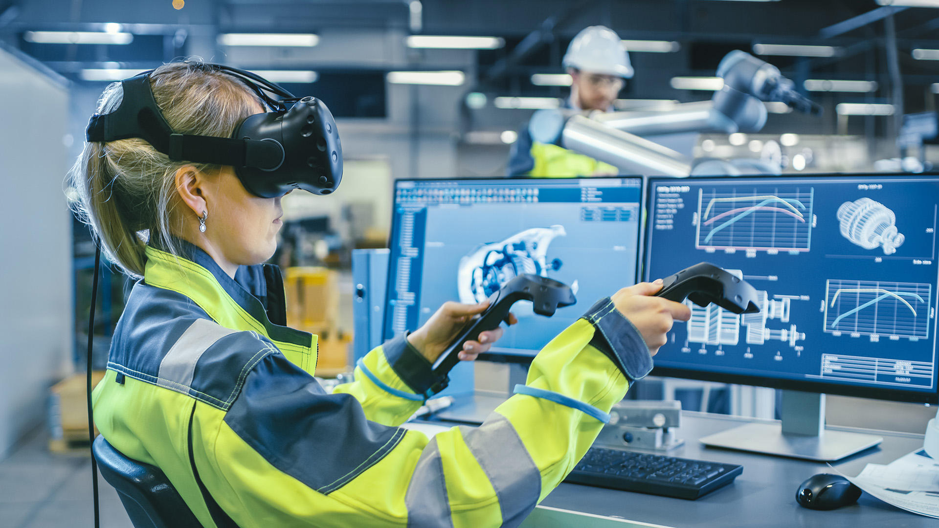
Additionally, the emergence of augmented and virtual reality technologies will revolutionize how we visualize and interact with geographic information, opening up new possibilities for immersive spatial experiences and real-time decision-making.
Big data and cloud computing advancements enhance geospatial tools, enabling actionable insights from diverse datasets. Continued trends in geospatial technology will expand applications, shaping spatial intelligence’s future across industries.
Conclusion
In summary, how geospatial technology develops highlights the importance of perceiving the world and solving complex problems in various fields. From urban planning to disaster management, agriculture to environmental conservation, geospatial technology offers invaluable insights and tools for decision-makers and practitioners alike. Innovate, overcome challenges, and ensure ethical geospatial data use for accessibility. Embrace trends and collaborate to maximize geospatial technology for a sustainable, connected future.
How accurate is geospatial technology in pinpointing locations?
The accuracy of geospatial technology depends on factors such as the type of technology used, signal strength, atmospheric conditions, and terrain. GPS, for instance, can provide location accuracy within a few meters under optimal conditions.
Is geospatial technology only used for mapping and navigation purposes?
No, geospatial technology has diverse applications beyond mapping and navigation. It is used in urban planning, disaster management, agriculture, environmental monitoring, defense, public health, etc.
What skills are required to work in the geospatial technology industry?
Professionals in the geospatial technology industry often possess skills in geographic information systems (GIS), remote sensing, spatial analysis, programming, data visualization, and domain-specific knowledge related to their field of interest.


